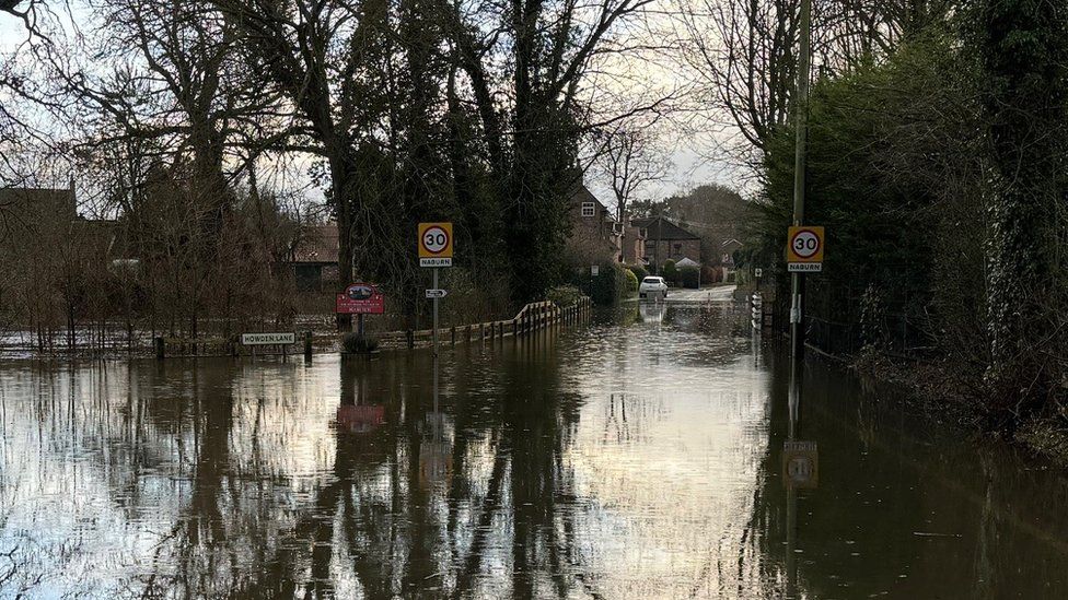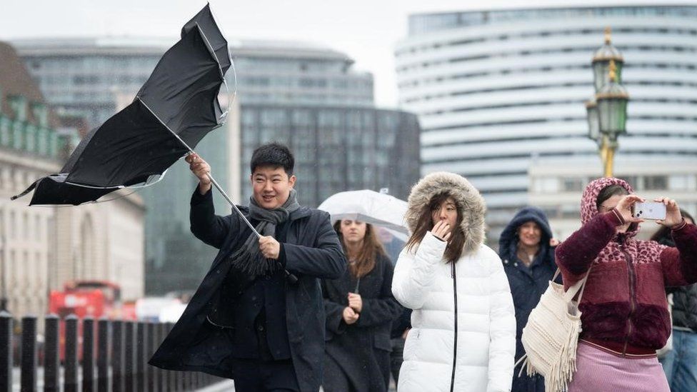
High winds and heavy rain are battering a large swathe of the UK as the small but potent Storm Henk hits.
The Met Office has issued an amber wind warning for travel disruption, roof damage and possible power cuts across southern England, the Midlands, East Anglia and Wales until 20:00 GMT.
Gusts of up to 80mph are expected around the Bristol Channel area. Inland they are likely to be up to 60mph.
Heavy rain is also expected across most of England and Wales.
The yellow warning for rain is in place until 21:00 GMT, reaching as far north as Manchester and Hull.
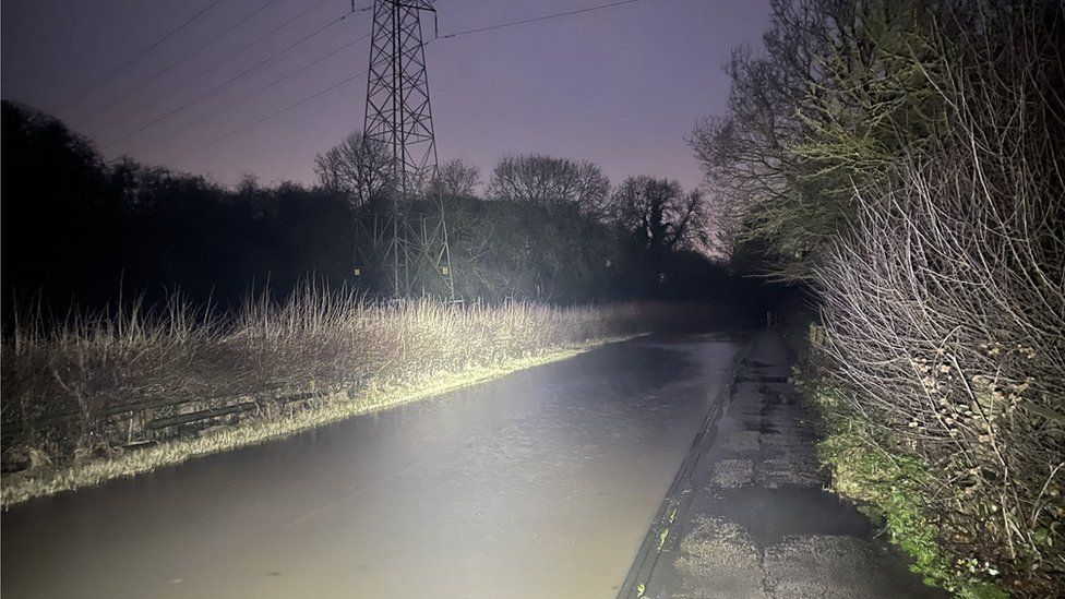
The Environment Agency has issued more than 150 flood warnings and more than 320 flood alerts in England.
Meanwhile, 2023 was provisionally the second warmest year in the UK since records began, the Met Office said. The warmest year on record was 2022. Global temperatures are rising because of human activity, leading to more intense heatwaves and rising sea-levels.
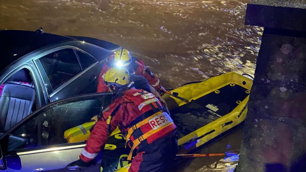
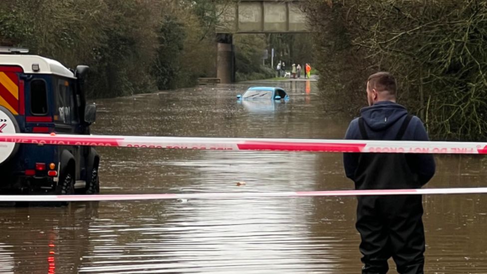
Firefighters said they used an inflatable to rescue people from a car stuck in floodwater in Kenilworth, Warwickshire, in the early hours of Tuesday.
In Worcester, a woman in her 40s was rescued by passers-by from the River Severn on Monday and police in Leicestershire are receiving “a lot of reports” of crashes and breakdowns due to surface water.
Train services between London Paddington and south Wales are being diverted because of flooding between Swindon and Bristol Parkway.
Train operator Avanti West Coast said in a post on X, formerly Twitter, that overhead lines between Watford Junction and London Euston had been damaged and warned of delays.
Southern Rail said it was enforcing speed restrictions of 40mph (64km/h) to multiple routes south of London.
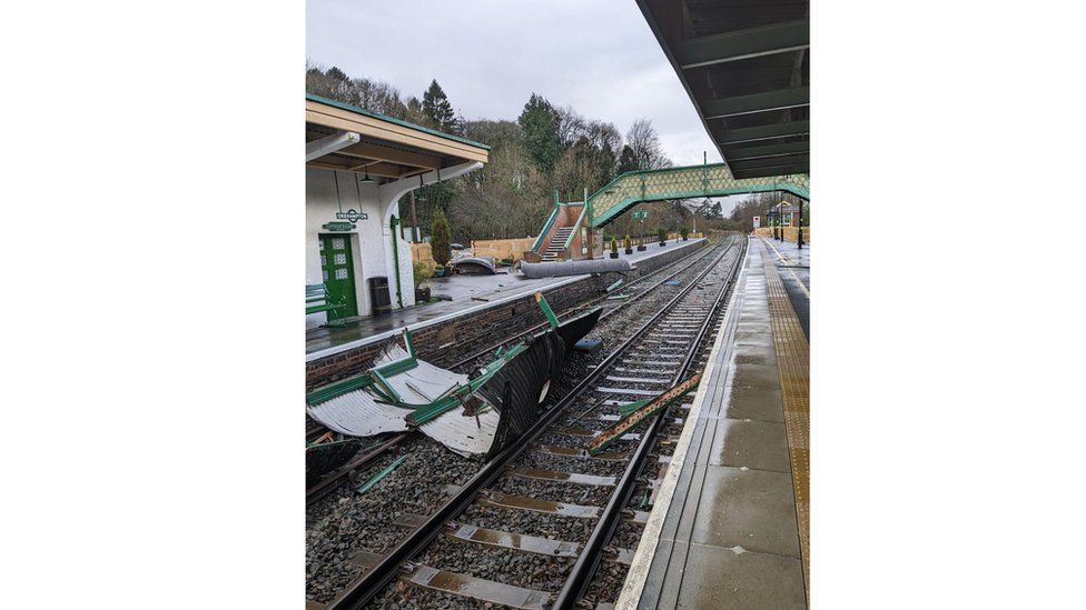
And Great Western Rail has closed all services between Okehampton and Crediton in Devon after Okehampton station was damaged due to the weather.
In its warning, the Met Office said there was also a risk of flying debris causing “injuries or danger to life”.
It added there was a good chance of power cuts which could impact mobile phone coverage.
It advises people living near the coast to avoid walking near large crashing waves as they may drag people out to sea.
Motorists should drive slowly and homeowners should secure garden furniture and other loose objects, the Met Office said.
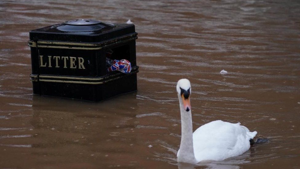
BBC Weather’s Matt Taylor said a wild evening rush hour was likely on Tuesday across some of the south of England, particularly East Anglia and the south-east, with lots of surface water and spray on the roads in the first part of the night.
He said Storm Henk would move into northern mainland Europe by Wednesday but some showers and blustery conditions could still be around.
Henk is now the eighth storm in only three months but this spell of wet and windy weather looks like it might come to an end later this week as more settled – but chillier – weather moves in.
The storm, which will track across mid-Wales through to Lincolnshire, was named much later than usual – only hours before the impact was due to be felt.
This was down to its small size and because it was still developing early on Tuesday morning.
Early forecasts were for gusts of around 70mph but some computer models were suggesting a stronger swathe of winds, while others weren’t – leading to uncertainty.
But as higher resolution models confirmed the potential for stronger wind gusts, there was greater certainty in the forecast and its potential impact.
An amber warning was subsequently issued, and the Met Office, along with the Irish and Dutch weather services, gave the small storm system a name – Henk.
This video can not be played
To play this video you need to enable JavaScript in your browser.

The BBC Weather app is only available to download in the UK.

Related Topics
-
-
22 minutes ago
-
-
-
4 hours ago

-
-
-
16 minutes ago
-

